Expédition le jour même du lundi au vendredi pour toute commande passée avant 17h45 . Livraison colissimo offerte en France métropolitaine à partir de 200€ d'achat.
Magasin ouvert ce mercredi 08.07.26, fermé jeudi 09.07.26


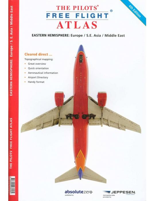

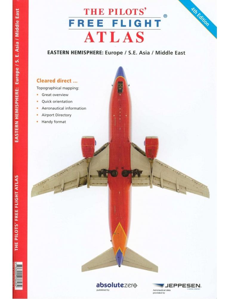
THE PILOTS'FREE FLIGHT ATLAS
Le premier atlas pour les pilotes qui vous permet de voir immédiatement où vous êtes par rapport à la structure des voies aériennes, les aéroports et les objets sur le terrain
10107
Nouveau produit

Paiement sécurisé

Livraison gratuite A partir de 200€

Retour: Délai de 14 jours ouvrés
The first atlas designed for pilots that allows you to see immediately where you are in relation to the airways structure, airports and objects on the ground.
It covers Europe, S.E. Asia, and the Middle East. Tographical charts are used showing over 4,500 airports Waypoints, VOR/DME, NDB´s and special use airspace are included, plus weather frequencies, points of interest, landmarks, airport-directory with ICAO-codes, railways, rivers, major highways, just to name a few. Airports are color-coded by runway length and surface. International/ regional Aerodromes are coded by symbol shape. Pilots now have the ability to point out objects on the ground or know immediately where they are in relation to surrounding airports or points of interest: an all-in-one source of information for pre-flight or during flight.
It covers Europe, S.E. Asia, and the Middle East. Tographical charts are used showing over 4,500 airports Waypoints, VOR/DME, NDB´s and special use airspace are included, plus weather frequencies, points of interest, landmarks, airport-directory with ICAO-codes, railways, rivers, major highways, just to name a few. Airports are color-coded by runway length and surface. International/ regional Aerodromes are coded by symbol shape. Pilots now have the ability to point out objects on the ground or know immediately where they are in relation to surrounding airports or points of interest: an all-in-one source of information for pre-flight or during flight.
10107
Nouveau produit